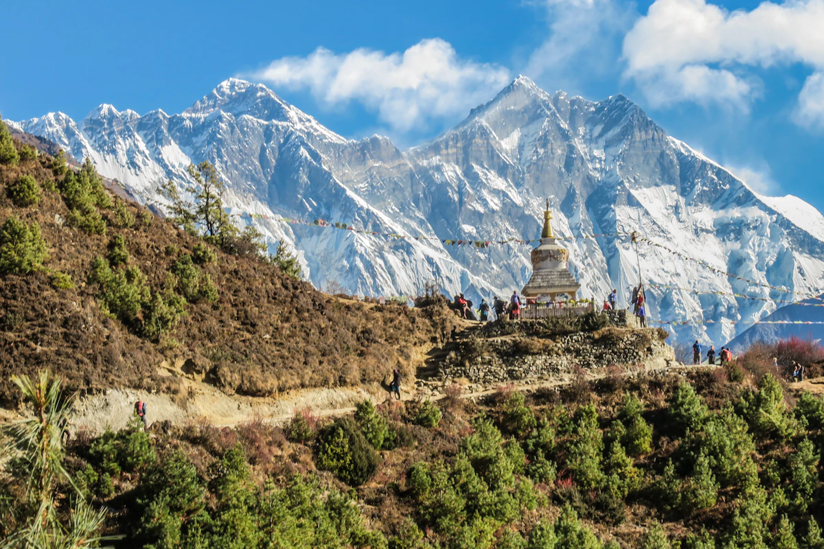
Few geographical regions on Earth present as strong an atmospheric challenge as Nepal. Spanning an altitude elevation from mere 60 meters in the southern Terai plains to the 8,848-meter summit of Mount Everest within a distance of under 150 kilometers, the country has long been vulnerable to devastating cloudbursts, Glacial Lake Outburst Floods (GLOFs), and monsoon-triggered landslides.
On September 23, 2026, Nepal’s meteorological capabilities took a historic technological leap forward. China officially completed the bilateral handover of its modern artificial intelligence weather modeling architecture, known as 'Mazu', to Nepal’s Department of Hydrology and Meteorology (DHM).
Why Traditional Weather Models Failed in the Himalayas
For decades, weather forecasting relied on Numerical Weather Prediction (NWP)—complex mathematical simulations that solve fluid dynamics and thermodynamic equations on massive supercomputing clusters. While NWP works reasonably well across flat plains and oceanic expanses, it struggles severely in steep mountain microclimates:
- Grid Resolution Bottlenecks: Standard global NWP models operate at 9km to 25km grid squares. In the Himalayas, an entire river valley, two mountain ridges, and three microclimates are compressed into a single grid box, leading to catastrophic blind spots during localized torrential rainfall.
- Compute Latency: Running multi-parameter physical atmospheric models requires four to six hours of heavy compute time. By the time a forecast was computed, cloudburst events had often already occurred.
Inside 'Mazu': Deep Graph Neural Networks for Meteorology
The Mazu system replaces brute-force differential equations with an ultra-fast, multi-scale Spatial-Temporal Graph Neural Network (GNN) trained on three decades of global reanalysis data and real-time Fengyun meteorological satellite telemetry.
| Performance Metric | Traditional NWP System | Mazu AI Weather Architecture | Real-World Advantage |
|---|---|---|---|
| Forecast Generation Time | 4.5 hours on supercomputer | 42 seconds on local GPU workstation | Instant situational awareness during active storms |
| Spatial Resolution | 9 km to 15 km grid | 1.2 km micro-basin resolution | Precision tracking of localized valley flash floods |
| GLOF Early Warning Window | 30 to 60 minutes | 6 to 12 hours advance prediction | Allows full community evacuations in downstream valleys |
| Hardware Footprint | Multi-million-dollar server room | Standard 4-node GPU rack in Kathmandu | Immense cost reduction and independent operation |
Transforming Disaster Management & Agriculture
The deployment of Mazu represents far more than an academic computing achievement—it directly impacts millions of lives and livelihoods across Nepal:
- Downstream Glacier Alerts: Glacial lakes like Tsho Rolpa and Imja Tsho are under continuous satellite and thermal AI surveillance. Sudden moraine shifts or sub-surface melt surges trigger automated alerts to riverside settlements along the Sun Koshi and Dudh Koshi rivers.
- Precision Farming for Terai Farmers: Rather than broad regional rain probabilities, farmers receive localized 48-hour soil moisture and precipitation forecasts directly on mobile handsets, enabling optimal planting and harvest scheduling.
- Aviation Safety in Mountain Airfields: Mountain airports like Lukla, Jomsom, and Simikot suffer from sudden wind shear and cloud ceiling drops. Mazu generates 30-minute rolling micro-forecasts that substantially reduce aviation risks.
Data Sovereignty & Local Capacity Building
As part of the bilateral agreement, the technical handover includes detailed training for Nepali meteorologists, data scientists, and engineers in Kathmandu. The local installation ensures that all sensitive climate and geographical telemetry remains hosted within Nepal’s domestic servers, giving local scientists full autonomy to fine-tune the AI models with ground-station observations from across the country.
Physics-Informed Neural Networks for High-Altitude Monsoon Tracking
The Mazu meteorological AI platform deploys 3D spherical Fourier neural operators trained on 40 years of ECMWF atmospheric reanalysis data. Running global atmospheric simulations in under 3 minutes, the platform predicts sudden Himalayan convective cloudburst events 18 hours faster than conventional numerical weather prediction (NWP) supercomputers.
Trans-Himalayan Weather Sensor Network & Real-Time Telemetry
To complement satellite observations, Nepal's Department of Hydrology and Meteorology is linking 145 solar-powered mountain weather stations across the Annapurna and Everest regions directly to Mazu's real-time inference cluster, ensuring precise snowfall prediction and avalanche alerts.
- ⚡ The 2026 Energy Wall: Why $68 Billion in AI Data Centers Are Paralyzed by Power Grid Bottlenecks
- ⚡ Top 7 Free AI Tools in 2026: Best Free AI Video, Voice & Coding Generators (No Watermark)
- ⚡ How to Protect Your Family from AI Voice Cloning & Deepfake Phone Scams (2026 Defense Guide)
- ⚡ FIFA World Cup 2026: The Tech Revolution — AI Referees, Sensor-Packed Balls & 100K Smart Stadiums
- ➔ How to Fix Windows 11 24H2 8.63 GB Windows Update Cleanup Bug: Checkpoint Cumulative Updates Explained
- ➔ Google DeepMind Unveils Genie 4: Real-Time Photorealistic Interactive World Model with Native Audio & Gemini Omni Architecture (2026 Deep Dive)
- ➔ How to Fix Windows 11 "Preparing Automatic Repair" Loop: BCD Rebuild & SrtTrail.txt Guide (2026)
- ➔ How Much VRAM Do You Really Need for Local LLMs in 2026? (7B, 14B, 32B & 70B GGUF Sizing Guide)



💬 Reader Discussion & Feedback 0